
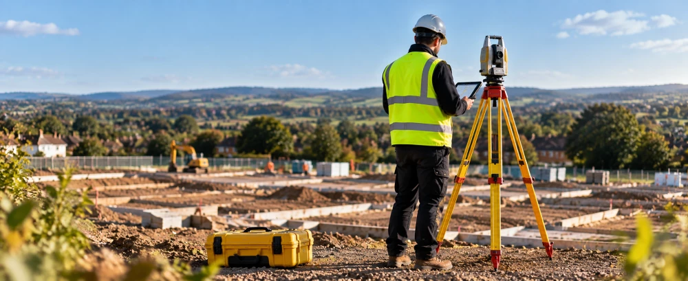
Topographical Surveyors in Trowbridge
Get in TouchAt GroundSignal Surveys, we are experts in providing topographical surveys in Trowbridge, mapping precise land and property data. Our skilled surveyors use modern equipment and methods to create detailed site plans, crucial for construction, planning, and property development.
We cater to a range of properties, ensuring each project is tailored to client needs. We cover Trowbridge and the surrounding BA14 8 postcode area.
Contact us today to discuss your project.
What Is a Topographical Survey?
A topographical survey involves mapping the physical features of land and property. At GroundSignal Surveys, our surveys in Trowbridge provide precise data on natural and man-made structures, elevations, and boundaries.
This data is essential for architects, engineers, and developers to understand the characteristics of a site. We employ modern equipment such as total stations, GPS systems, and 3D laser scanners to capture detailed topographical information.
These tools allow us to measure land gradients, elevation changes, and contours accurately, which are crucial for site planning and design. Our surveys also adhere to RICS standards, ensuring quality and precision.
By identifying existing utilities, drainage systems, and vegetation, our surveys help in minimising potential project risks. Using this data, project stakeholders can make informed decisions for infrastructure development, zoning, and layout planning.
How Much Does a Topographical Survey Cost in Trowbridge?
A topographical survey typically costs between £500 and £1,500 in Trowbridge, depending on the size and complexity of the site. Factors influencing the cost include the level of detail required and the survey area size.
The technology used, such as GPS, drones, or robotic total stations, can also affect pricing. Surveys that cover larger estates or involve complex terrains may require additional time and advanced equipment, influencing costs.
We frequently conduct surveys for both residential and commercial properties, meeting standards such as the RICS specifications and ensuring accuracy. Our experienced surveyors also consider elements like vegetation cover, existing structures, and accessibility while quoting.
We offer competitive pricing tailored to each client's needs, ensuring accurate results and value for money. Contact us for a detailed, no-obligation quote.
Request a Topographical Survey
Why Choose GroundSignal Surveys for Topographical Surveys in Trowbridge?
GroundSignal Surveys is your trusted choice for topographical surveys in Trowbridge. We use cutting-edge technology such as Robotic Total Stations and GNSS (Global Navigation Satellite System) equipment, which ensures measurement precision and reduces field time significantly.
Our dedicated team has extensive experience across sectors including construction, real estate, and civil engineering, providing a personalised service and expert advice. We adhere to industry standards such as ISO 9001 for quality management, which assures our clients of our commitment to accuracy and reliability.
By choosing us, you guarantee precise data for your site plans, contour maps, and 3D modelling, along with comprehensive support throughout your project. Whether you are a developer needing detailed land assessments or an architect requiring elevation data, we offer the expertise you need to drive success.
What Types of Topographical Surveys Are Available in Trowbridge?
We offer a variety of topographical surveys in Trowbridge to meet specific project needs. Our surveys use advanced equipment like total stations, GPS, and drones to ensure precise data collection.
Contour Surveys: These surveys provide essential elevation data across a site, useful for drainage planning and landscape design. They typically include contour lines at intervals of 0.1 to 1.0 metre, depending on project needs.
Detail Surveys: These capture all physical features such as buildings, roads, and trees, often required for planning applications and development projects. Key features like utility lines and street furniture are also included.
Boundary Surveys: Used to define property lines and legal boundaries, these surveys are critical for resolving disputes or preparing land for sale. They adhere to land registry requirements.
As-built Surveys: Documenting the position of structures post-construction, these verify compliance with design specifications and are often used for quality assurance purposes.
Each type is tailored to deliver crucial insights for different stages of land development, ensuring projects progress smoothly and efficiently. Contact us to discuss which survey best suits your needs.
How Does a Topographical Survey Work?
A topographical survey is conducted through a systematic process that provides detailed measurement and mapping of land features. At GroundSignal Surveys, we follow these steps:
Initial Consultation: We assess the scope and requirements of the project, understanding property boundaries and the client's specific needs.
Site Visit: We conduct an on-site examination using equipment like total stations and GPS units, ensuring high-precision data capture.
Data Collection: Capture detailed information on site features such as contours, vegetation, buildings, and underground utilities. Measurements are taken to the nearest millimetre for accurate results.
Data Processing: We analyse the collected data using software like AutoCAD or GIS to create detailed and precise site maps.
Report Delivery: Provide clients with thorough survey reports, including digital and hard copies, that serve as a foundation for construction, planning, or legal purposes.
This process ensures all data is efficiently gathered and accurately represented, aiding in smooth project planning and execution. For more detailed information, contact us.
What Are the Benefits of Topographical Surveys in Trowbridge?
Topographical surveys in Trowbridge offer numerous benefits essential for a wide range of projects. They give property developers detailed insights using technologies such as GPS and total station instruments to capture land features accurately within centimetre precision.
Accurate Planning: Precise data aids in effective planning and design by mapping structures, natural features, and elevation changes, which is invaluable for architects and engineers.
Regulatory Compliance: Ensures adherence to legal and planning standards, such as the requirements outlined in the UK Planning Portal, helping secure necessary permits swiftly.
Risk Reduction: Identifies site constraints and potential issues early by uncovering aspects like underground utilities or unstable ground conditions, which geotechnical engineers can further assess.
Cost Efficiency: Accurate information prevents costly errors and delays, aiding in budgeting by allowing clear plans that reduce the chance of unforeseen expenses.
With these benefits, our surveys provide a solid foundation for any development project, whether for commercial, residential, or infrastructure purposes. Reach out to us to discuss your project needs.
Frequently Asked Questions
How Accurate Are the Surveys Conducted by GroundSignal Surveys?
Our surveys in Trowbridge are precise, with measurements to a few millimetres. We use advanced surveying technology to ensure reliability.
Do I Need a Topographical Survey for a Small Plot?
Yes, even small plots in Trowbridge benefit from our surveys, providing essential data for any construction or development project.
What Equipment Do You Use for Surveys?
We use equipment such as total stations and GPS systems, ensuring comprehensive data collection in Trowbridge.
How Long Does a Survey Typically Take?
Surveys typically take one to three days in Trowbridge, depending on site size and complexity. We maintain efficiency while ensuring accuracy.
Can I Request Changes After the Survey Report Is Delivered?
Yes, we offer amendments to reports if further detail or changes are required. Our team in Trowbridge is here to support you.
Get a Free Quote for Topographical Surveys in Trowbridge
Ready to start your project? Contact GroundSignal Surveys today for a free quote on our topographical surveys in Trowbridge.
We cover Trowbridge (Wiltshire)