
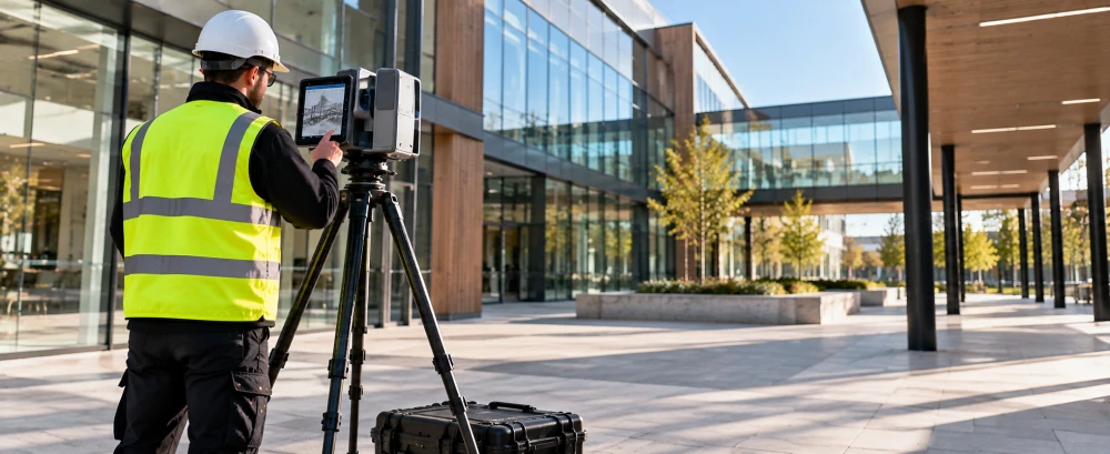
3D Laser Scanning Surveyors in Newton Aycliffe
Get in TouchAt GroundSignal Surveys, we specialise in providing accurate 3D laser scanning services in Newton Aycliffe. Our equipment captures complex geometries and creates precise digital models, essential for architectural and engineering projects.
Partnering with diverse clients, we help streamline planning and documentation with high-resolution data. Our services extend across DL5 4, ensuring comprehensive coverage.
What Is 3D Laser Scanning?
3D laser scanning is a sophisticated surveying process used to capture precise spatial data. At GroundSignal Surveys, we employ this technology to generate detailed 3D models and digital twins of structures and environments in Newton Aycliffe.
The technique involves high-speed laser scanners that measure fine details and capture shapes and dimensions accurately. We use devices like the Leica ScanStation and Faro Focus, which capture millions of data points per second.
This method is particularly useful for construction, restoration, and heritage preservation, allowing for accurate analysis and planning.
By using laser scanning, we adhere to industry standards such as PAS 1192 and BIM Level 2, ensuring our models integrate seamlessly into collaborative workflows. Moreover, our surveys provide architects and engineers with reliable data for design validation, clash detection, and progress tracking.
This enhances decision-making, reduces the risk of errors, and improves project outcomes.
How Much Does 3D Laser Scanning Cost in Newton Aycliffe?
3D laser scanning services typically cost between £350 to £1,000 per project in Newton Aycliffe, depending on several factors. The cost varies based on site size, complexity, and data requirements.
Larger sites might require more extensive point cloud data capture and processing, while projects with intricate architectural details or obstructions could demand additional scanning time and specialised equipment such as terrestrial laser scanners. The precision of the survey, typically within millimetre accuracy, can also impact the cost.
Additionally, compliance with industry standards like PAS 1192 for BIM level 2 or ISO 19650 can add to the complexity and cost of projects. Our services cater to a wide range of client needs, from construction firms to heritage conservation specialists.
Contact us for a detailed quote catered to your project's needs.
Enquire About 3D Laser Scanning
Why Choose GroundSignal Surveys for 3D Laser Scanning in Newton Aycliffe?
GroundSignal Surveys stands out as a trusted provider of 3D scanning in Newton Aycliffe. We use state-of-the-art equipment such as Leica RTC360 and Faro Focus scanners, ensuring precision and reliability with up to 1 mm accuracy across complex projects.
Our experienced team employs methods like Scan-to-BIM (Building Information Modelling) and point cloud processing for creating detailed digital models tailored to client needs. We cater to various sectors, including construction, architecture, heritage conservation, and civil engineering, offering customised solutions for each project.
Our services aid in clash detection, volume calculations, and as-built surveys, aligning with industry standards like PAS 1192 for information management. Choosing us means working with a committed partner focused on quality and accuracy.
Get in touch today to experience our service excellence.
How Does 3D Laser Scanning Work?
To conduct a 3D laser scan, we follow a process:
Site Preparation: We assess the site and plan the scanning route, considering factors such as lighting conditions and physical barriers. This step often involves coordinating with builders or project managers to ensure minimal disruption.
Data Capture: Our Faro Focus3D and Leica Geosystems laser scanners emit light pulses to measure distances and capture data points. These devices can scan up to a million points per second, covering a range of several hundred metres with an accuracy of about two millimetres.
Data Processing: The collected data is converted into a precise 3D model using software like Autodesk ReCap or Cyclone, which aligns the data points into a cohesive digital representation.
Analysis and Reporting: We analyse the model using CAD tools and provide comprehensive reports, including cross-sections, floor plans, and elevation drawings compliant with Building Information Modelling (BIM) standards.
This method results in a detailed and highly accurate representation of the surveyed area, supporting various project needs by facilitating accurate design, construction, and renovation activities.
What Are the Benefits of 3D Laser Scanning in Newton Aycliffe?
3D laser scanning offers numerous advantages for projects in Newton Aycliffe, revolutionising how we approach site analysis and planning. Using LiDAR (Light Detection and Ranging) technology, we can capture highly accurate as-built documentation, making it ideal for CAD and BIM applications.
Precision: Obtains detailed measurements with minimal error, achieving accuracy within a few millimetres, which is essential for complex structural assessments.
Efficiency: Quick data collection speeds up project timelines. A single scanning session can capture millions of data points in minutes, reducing the need for repeat site visits.
Versatility: Applicable across numerous industries and purposes, including construction, heritage conservation, and industrial inspections. It's also invaluable for creating digital twins and virtual reality models.
Safety: Minimises the need for physical exploration in hazardous spaces, such as unstable buildings or confined areas, enhancing worker safety by allowing remote analysis.
Embrace these benefits by contacting us to discuss your project requirements and explore how 3D laser scanning can enhance your operations.
Who Needs 3D Laser Scanning in Newton Aycliffe?
Our 3D laser scanning services are ideal for a diverse range of clients in Newton Aycliffe. We assist architects and engineers in planning and verification stages by providing data suitable for Building Information Modelling (BIM) integration.
Our services also benefit historians in the restoration of heritage sites, capturing intricate details that manual methods might miss. Construction firms rely on us for data to support clash detection and as-built surveys, ensuring structures are erected accurately according to design specifications.
We employ advanced equipment such as the Leica RTC360 and FARO Focus 3D, which allow for rapid data collection with millimetre accuracy. This technology is valuable in sectors like real estate for virtual tours and facility management for space utilisation assessments.
Collaborate with us to ensure your project is backed by precise information.
Get a Free Quote for 3D Laser Scanning in Newton Aycliffe
If you're interested in our 3D laser scanning services in Newton Aycliffe, contact GroundSignal Surveys for a free, no-obligation quote. Our team is ready to discuss your project and provide customised solutions.
We cover Newton Aycliffe (Durham)